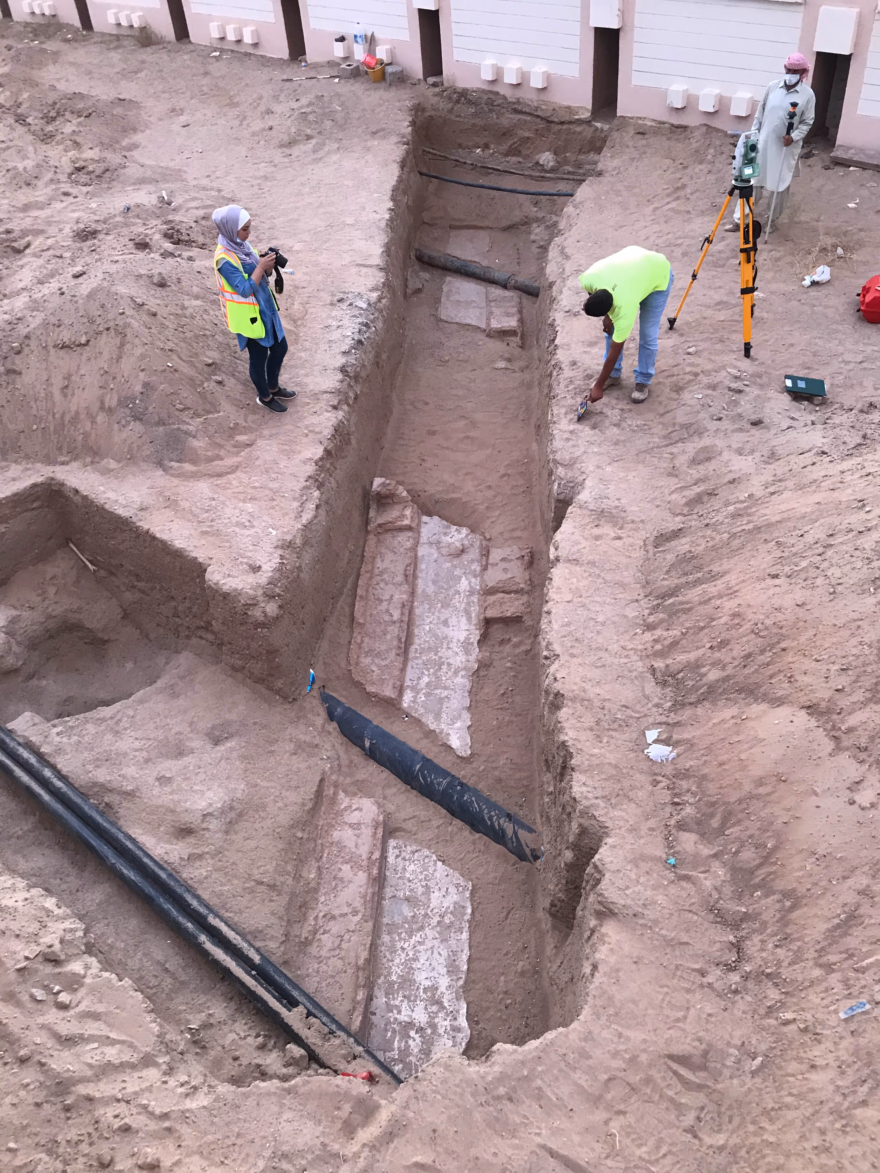
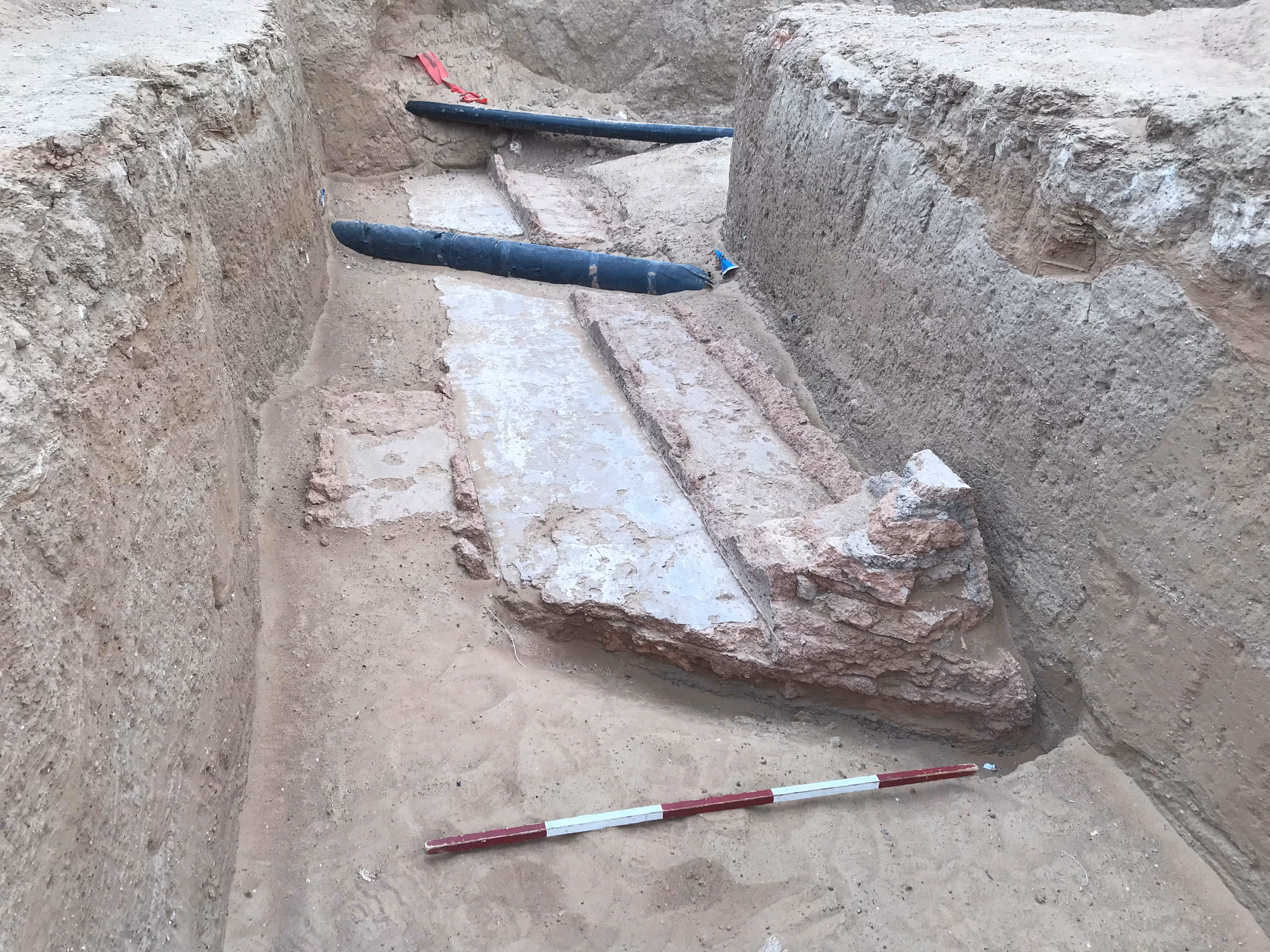
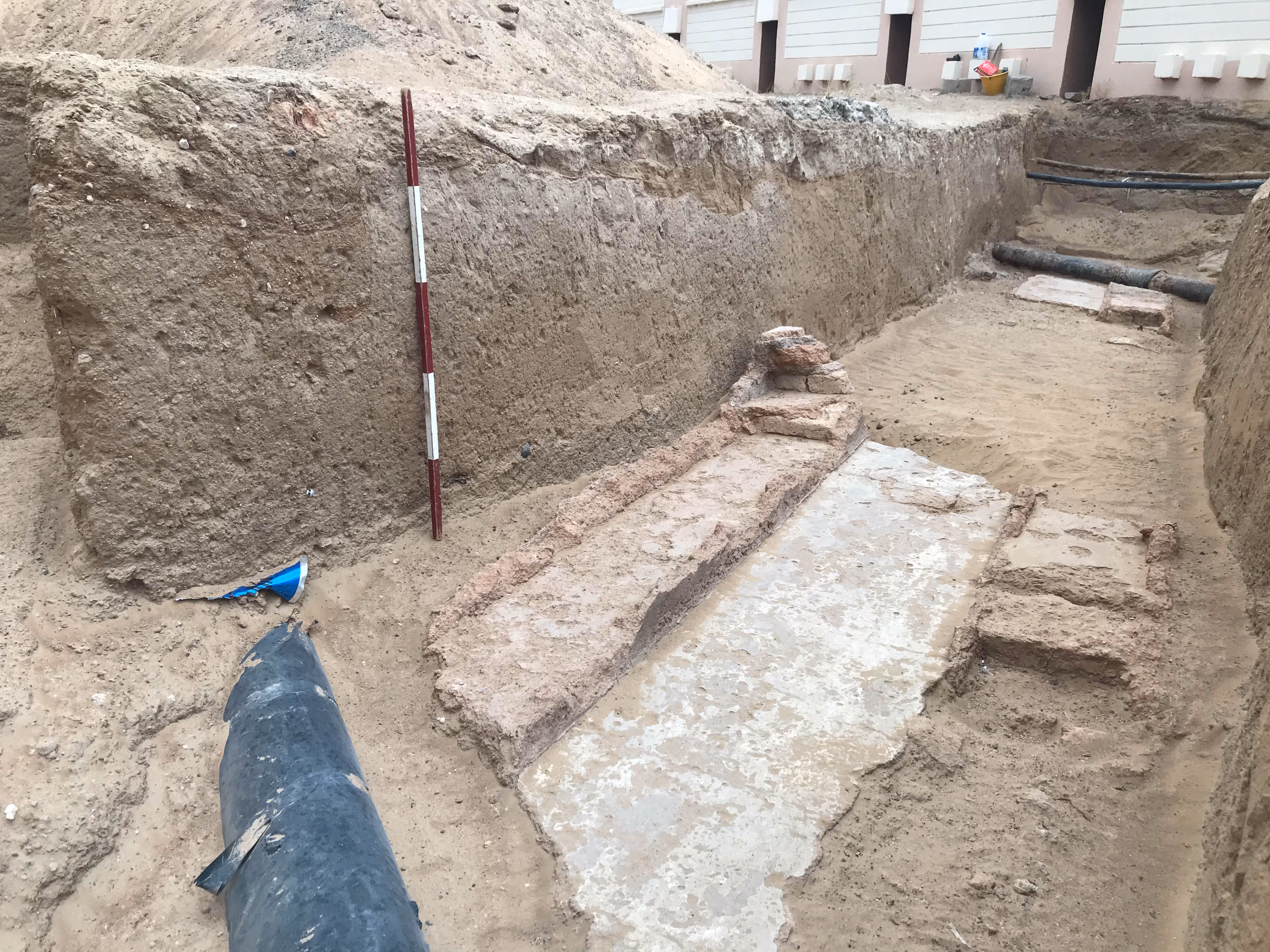
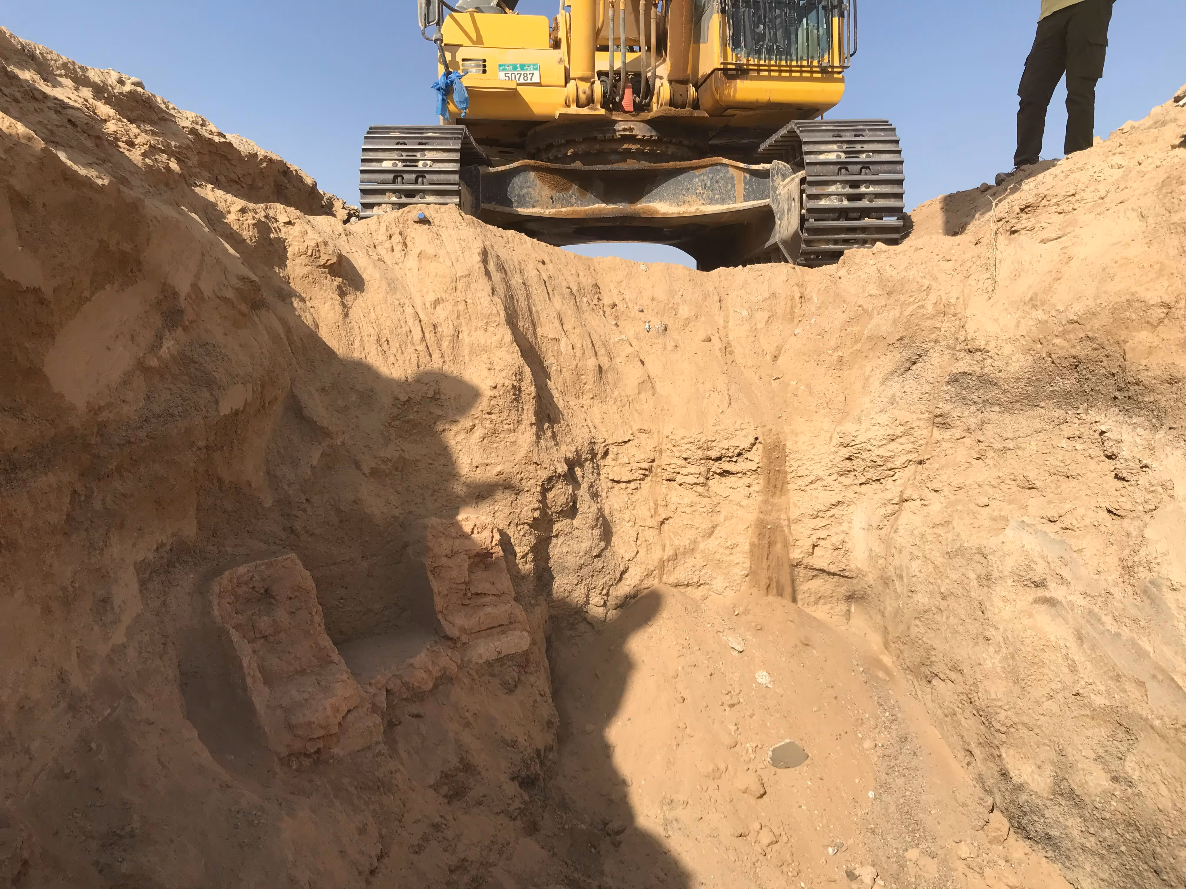
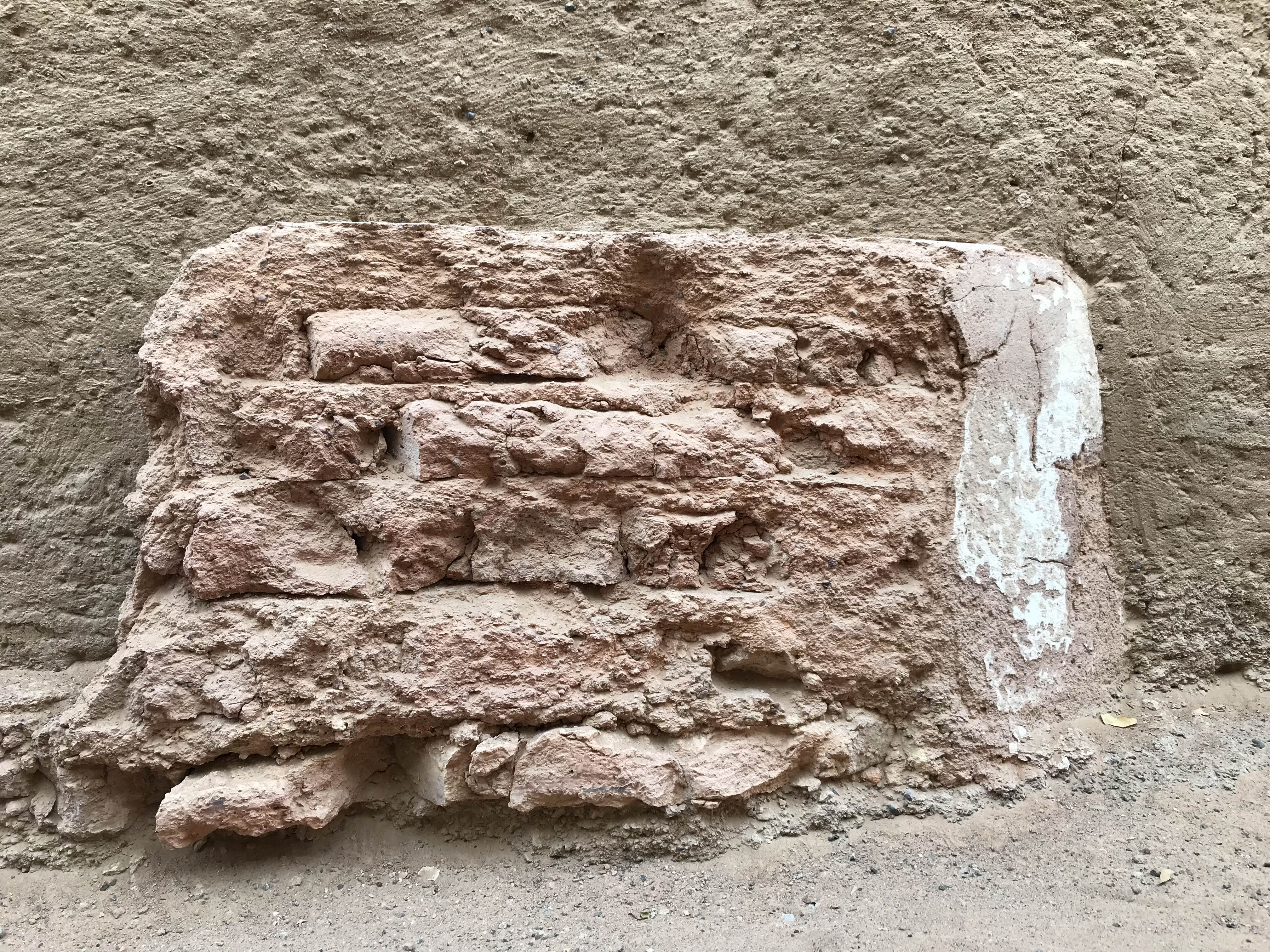
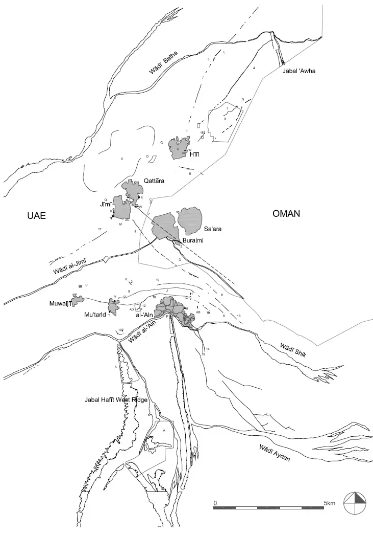
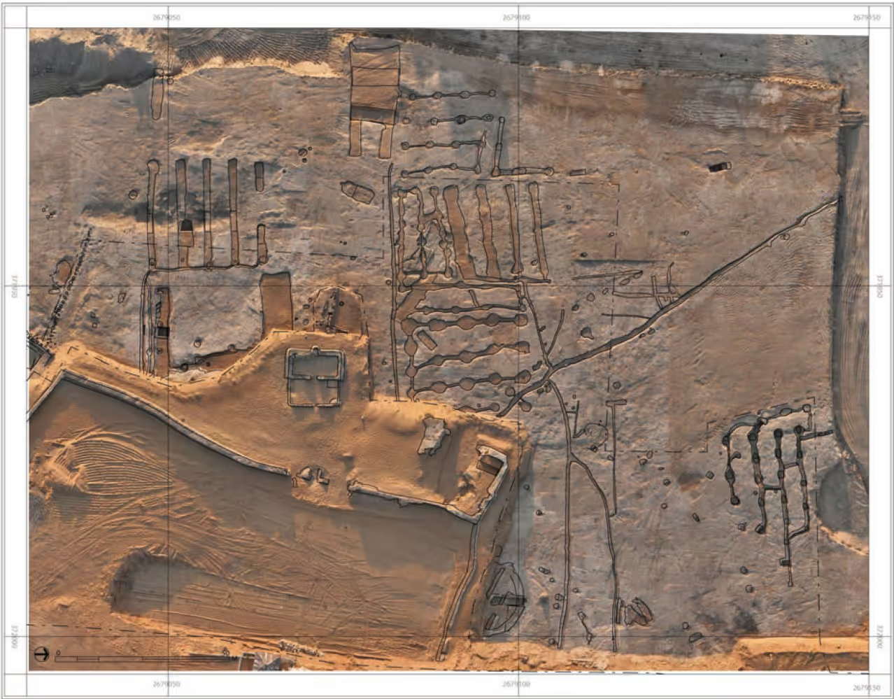
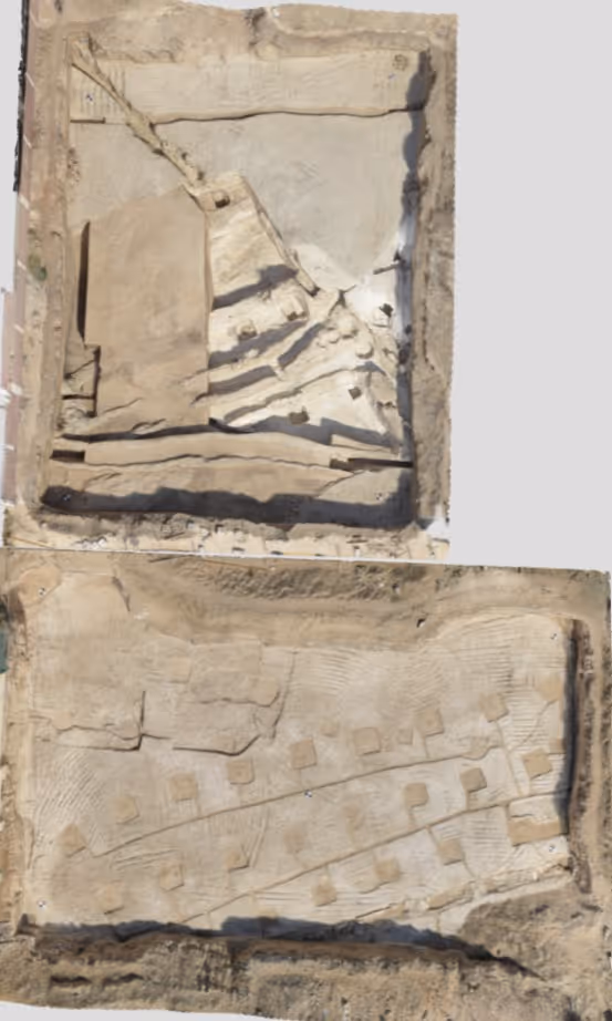
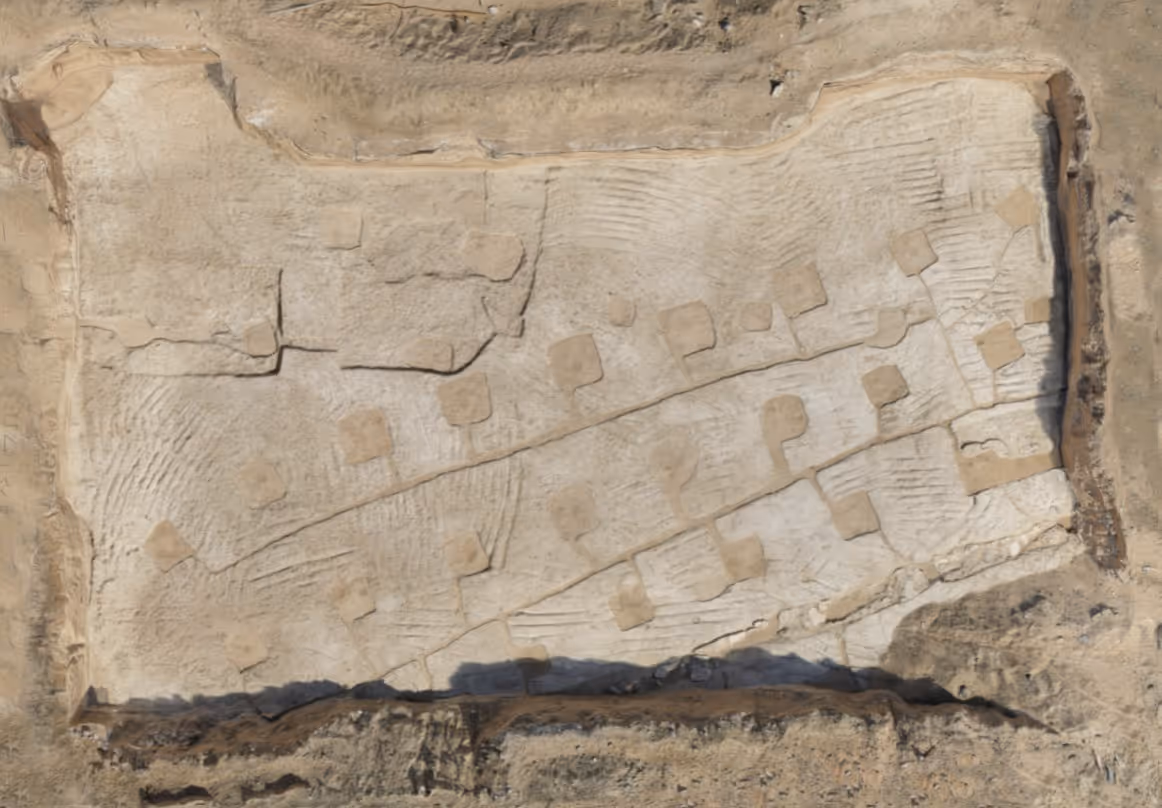
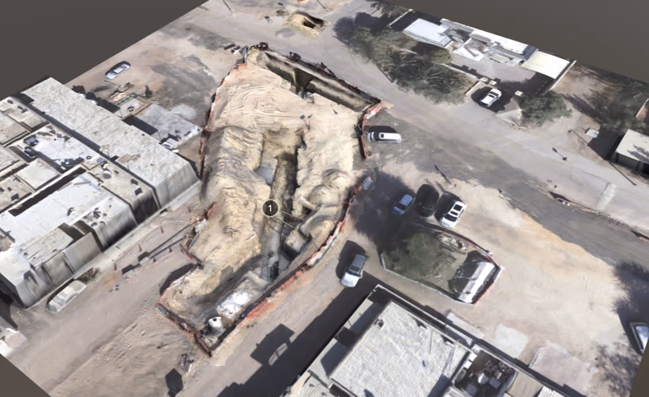
Jimi Early Islamic Falaj
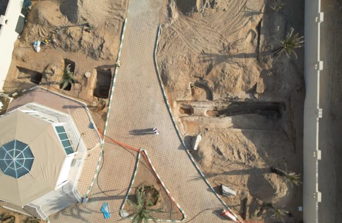
this EI falaj has been revealed in 4 separate locations over the past 11 years

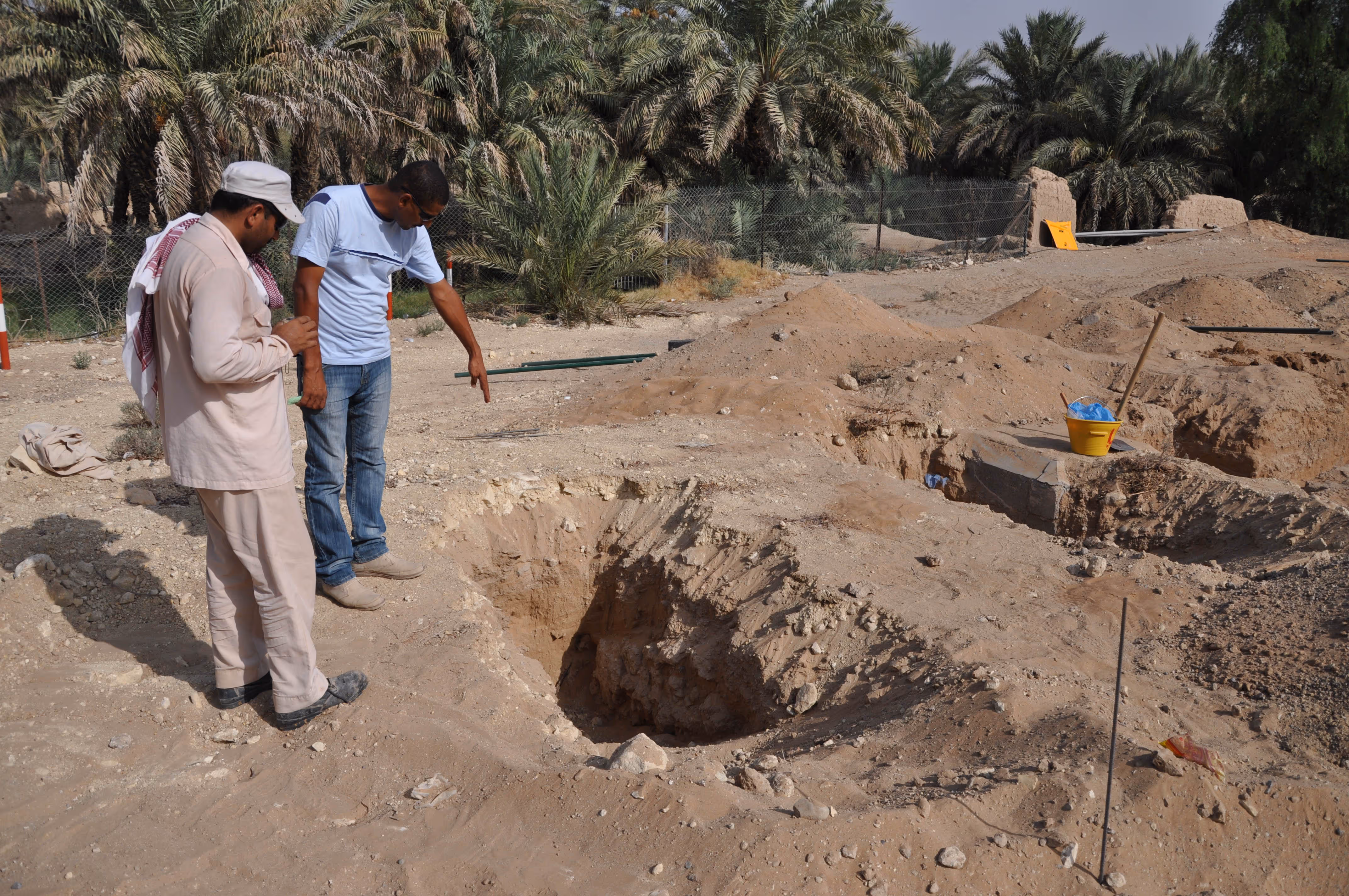
The third location to the south of the Jimi cemetery wall was exposed during infrastructure work and then reburied
this EI falaj has been revealed in 4 separate locations over the past 11 years
24.250378
55.753356
WGS84 / UTM zone 40N
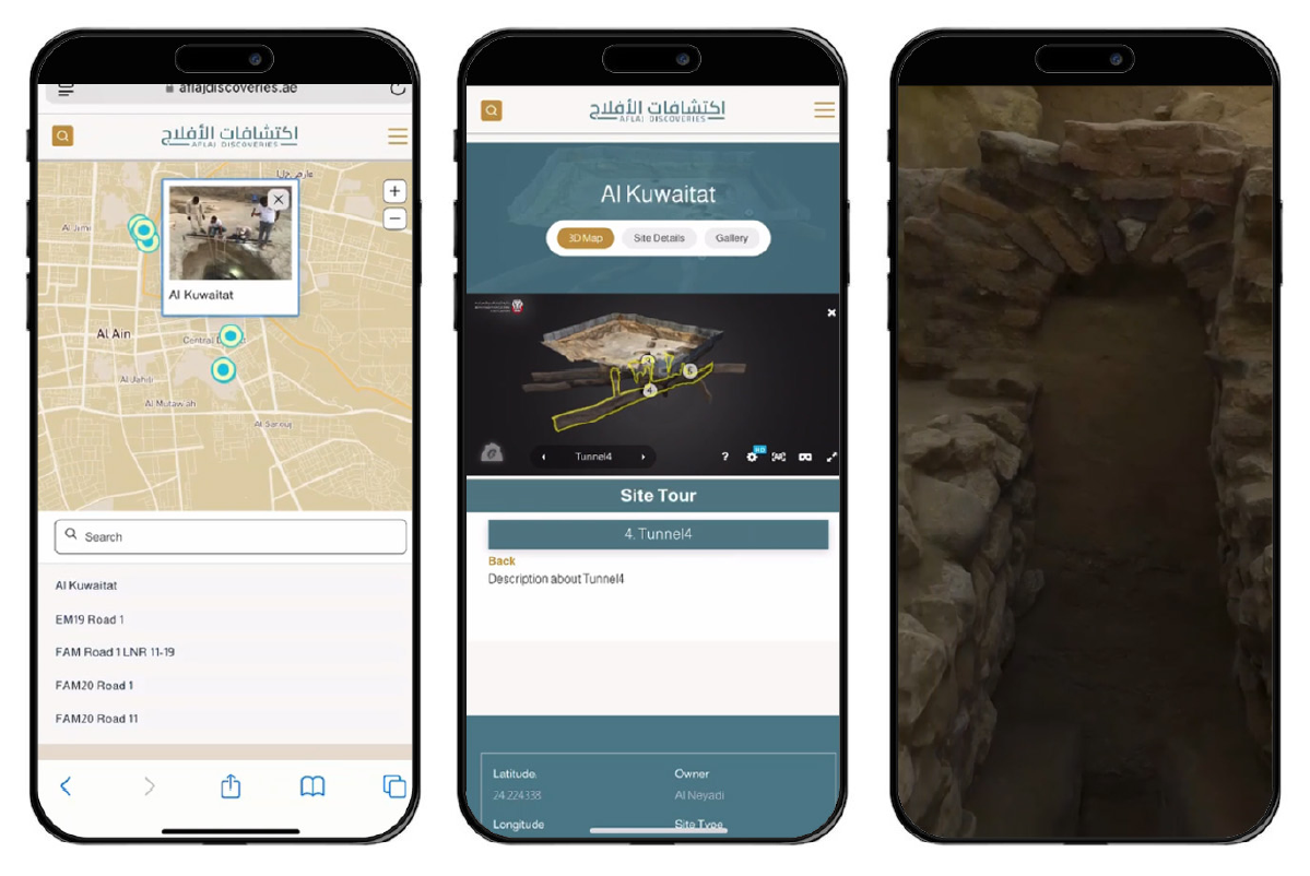
al jimi
mohammed bin khalifa st
DCT & Al Ain Municipality
Learn how we reference architectural elements in sites.
EI

1 of 0
Image #1211
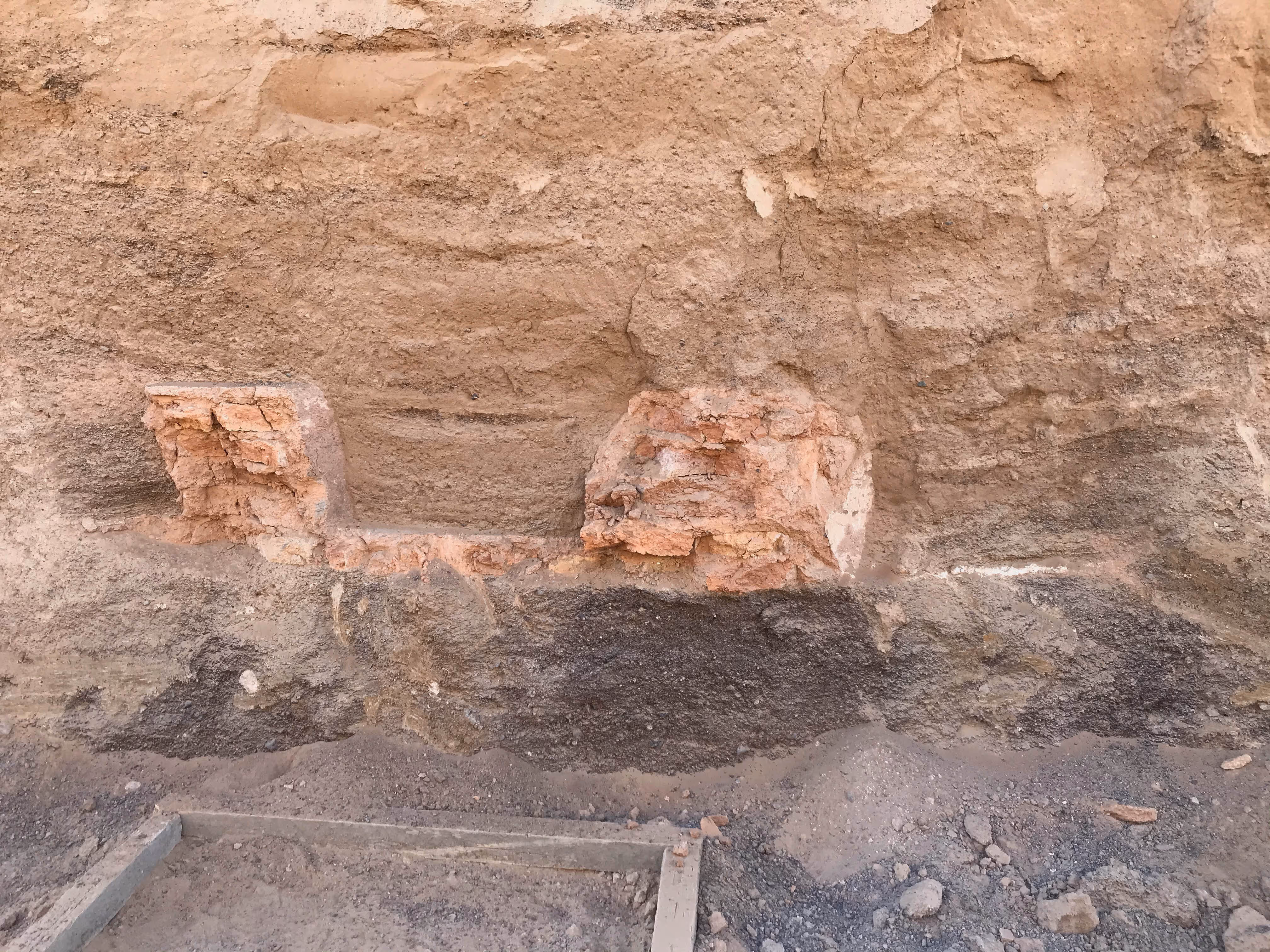
section through point 2

1 of 0
Image #1211
trench point 2
1 of 0
Image #1211
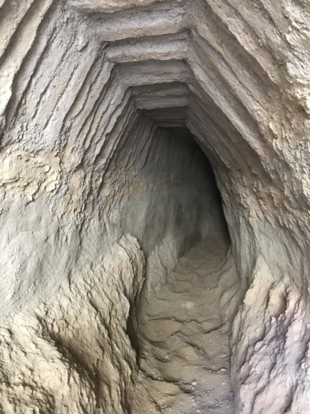
location 4
1 of 0
Image #1211
location 4
1 of 0
Image #1211
location 4
1 of 0
Image #1211
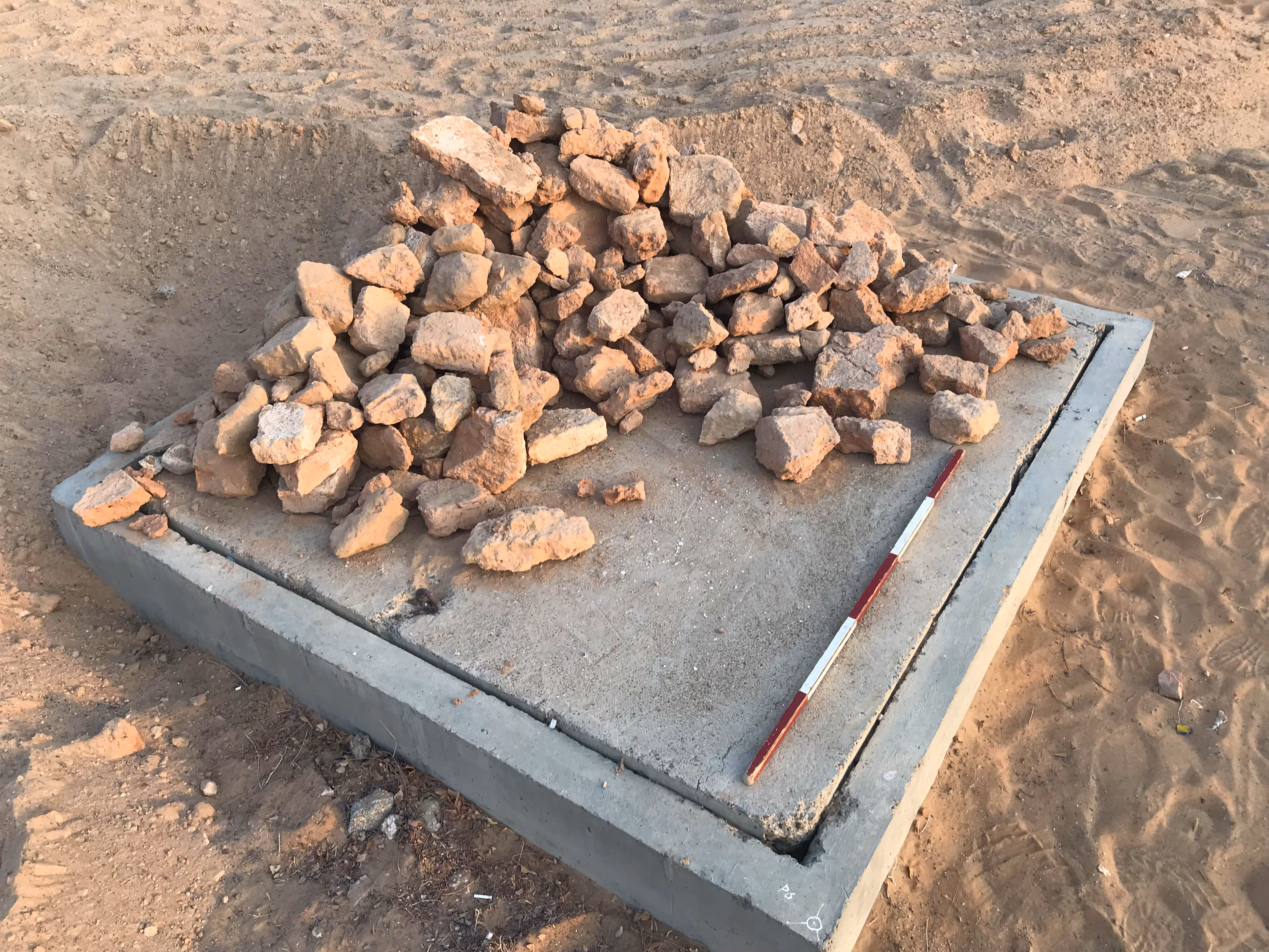
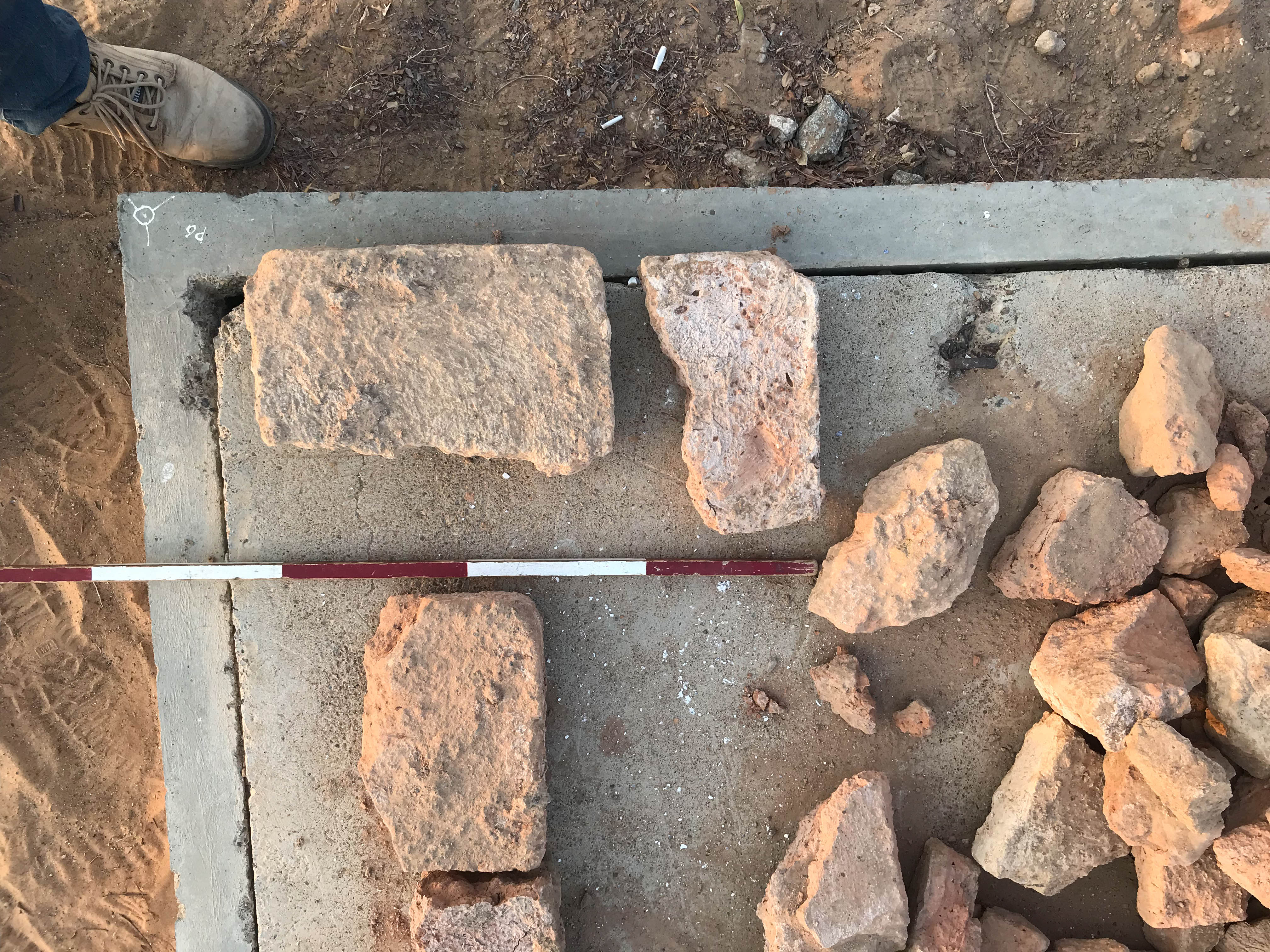
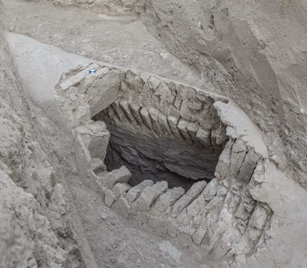
location 3
1 of 0
Image #1211
location 3

1 of 0
Image #1211
location 1
1 of 0
Image #1211
location 10
1 of 0
Image #1211
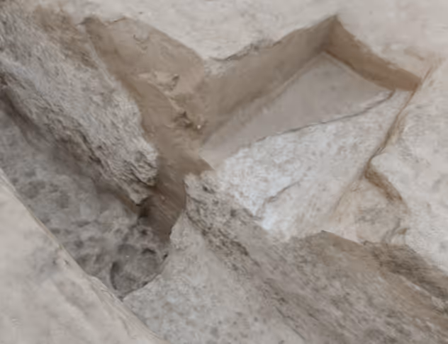
location 2
1 of 0
Image #1211
location 2
1 of 0
Image #1211
location 2
Terms of Use
Aflaj Discoveries owns the copyright to all materials displayed on the website www.aflajdiscoveries.ae(“Aflaj Discoveries Website”), including but not limited to:
(i) the artwork, design, and layout of the Aflaj Discoveries Website; and
(ii) all electronic text, image files, audio, and video clips available on theWebsite (“Aflaj Discoveries Material”), unless otherwise indicated.
The saving, copying, or printing of AflajDiscoveries Material is permitted only under the principle of fair use.Fair use includes personal information, research, and academic study. By usingany Aflaj Discoveries Material, users agree to restrict their use to fair usethat does not infringe on the rights of Aflaj Discoveries. Users must alwayscite:
“Aflaj Discoveries by DCT” and include the website link www.aflajdiscoveries.ae.
Any republication of Aflaj DiscoveriesMaterial for public or commercial use without prior written approval isstrictly prohibited.
Academic & Research Use
Aflaj Discoveries Material is madeavailable primarily for cultural, educational, and scientific purposes.Academic and non-profit uses are allowed, provided proper credit is given andprior contact is made where applicable.
Commercial Use Requests
Users seeking to use Aflaj DiscoveriesMaterial for any commercial purpose must submit a written request including:
(i) identification of the material to be used; and
(ii) a description of the proposed commercial use.
Requests should be sent to: Aflajdiscoveries@dctabudhabi.ae
Aflaj Discoveries reserves the right toreview requests and charge fees for approved commercial uses.
Instructions for Requesting Use
If you would like to use audiovisualmaterial from the website, please:
- Note the filename, image number, or the link to the relevant page.
- Send an email to Aflajdiscoveries@dctabudhabi.ae.
- Include the filename(s)/number(s)/links in the subject line.
- In the body of the email, describe the proposed use clearly.
- For multiple images, files, or plans, list them all in one email.
Our team will review your request andrespond by email.
Note:Materials not credited to Aflaj Discoveries are not available for use(commercial or non-commercial). In such cases, users must contact thephotographer, museum, institute, or project directly.
موارد لمعرفة المزيد عن الأفلاج والمناظر الطبيعية القديمة في العين


.jpg)